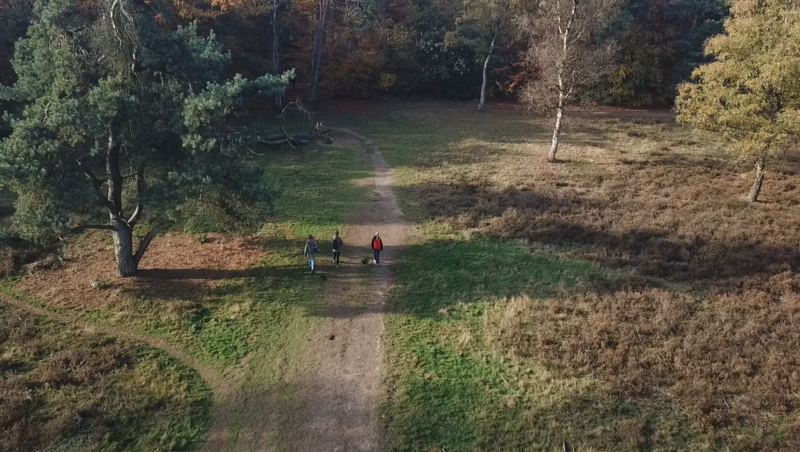



The Soil Type map shows the diverse underground makeup of the Netherlands, clay, peat, sand, and loam, each with its own characteristics and influence on water, plants, and land use. It gives a clear view of where different soil types dominate, revealing the foundation of everything that happens above ground. You’ll quickly see how soil shapes agriculture, construction, and even nature itself.
Why choose this map?
Because everything starts with the soil 🌱🧱
🚙 Take me on a test-drive (Clickable) ⬆️
This map helps you dig into the story beneath your feet. Use it to explain why crops grow differently, why buildings need special foundations, or why wetlands appear where they do. It’s perfect for excursions on agriculture, ecology, or geology.
💡 Combine it with groundwater or land use layers to explore how soil and human activity interact.
📍 Source : Registre géographique national
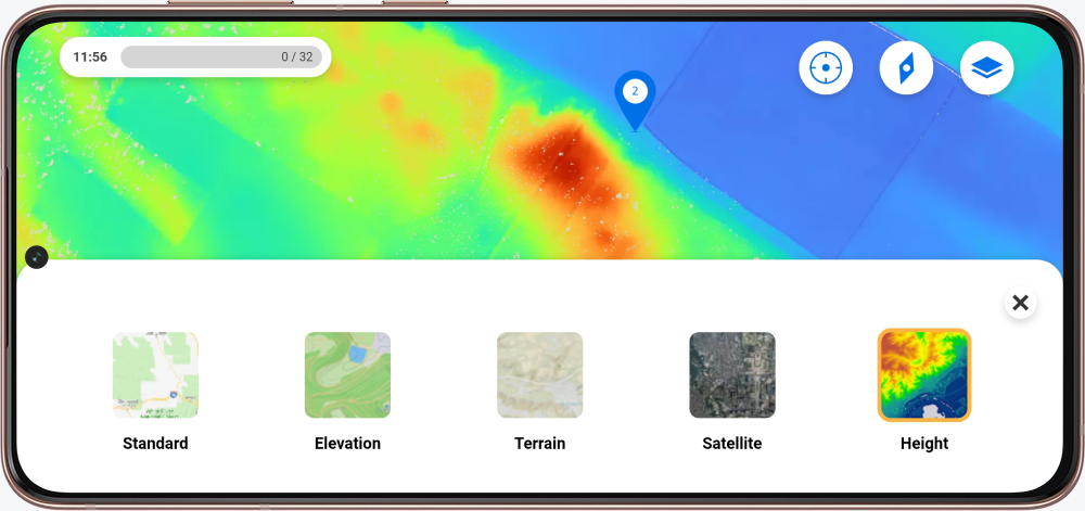
Vous avez hâte que la carte fasse partie de votre excursion ? Dans le Mon Peek environnement, vous pouvez demander une carte en remplissant les formulaires.
Vous êtes nouveau à Peek et vous êtes curieux de connaître les possibilités offertes ? Contactez nous !