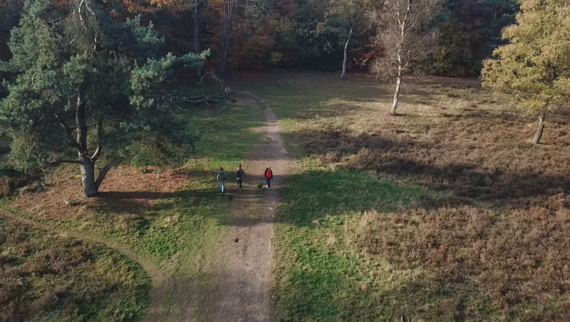



The Hydrology Map gives insight into how water moves through, under, and across the Dutch landscape. From surface water shortages to warming lakes and groundwater problems, this map brings together key factors that influence water quality, availability, and resilience, both now and in the future. It’s a must-have for anyone exploring the balance between water systems and the environment.
Waarom kiezen voor deze kaart?
Because water is everywhere and it’s always changing 💦🔄
Maak een proefrit met me (Klikbaar) ⬆️
This map lets you dive into the hidden workings of the water system. Use it to explore droughts, erosion risks, urban infiltration potential, and how water bodies respond to climate change. It’s ideal for excursions on sustainability, urban planning, or environmental management.
Inclusief een dropdown!
The dropdown includes maps of current and future surface water shortages, flushing water demand changes (ZSS), groundwater flooding risk, urban infiltration potential, water erosion sensitivity, and the warming of surface waters due to climate change.
💡 Combine it with drought or land use layers to explore the full water cycle above and below ground.
Bron: https://www.klimaateffectatlas.nl/
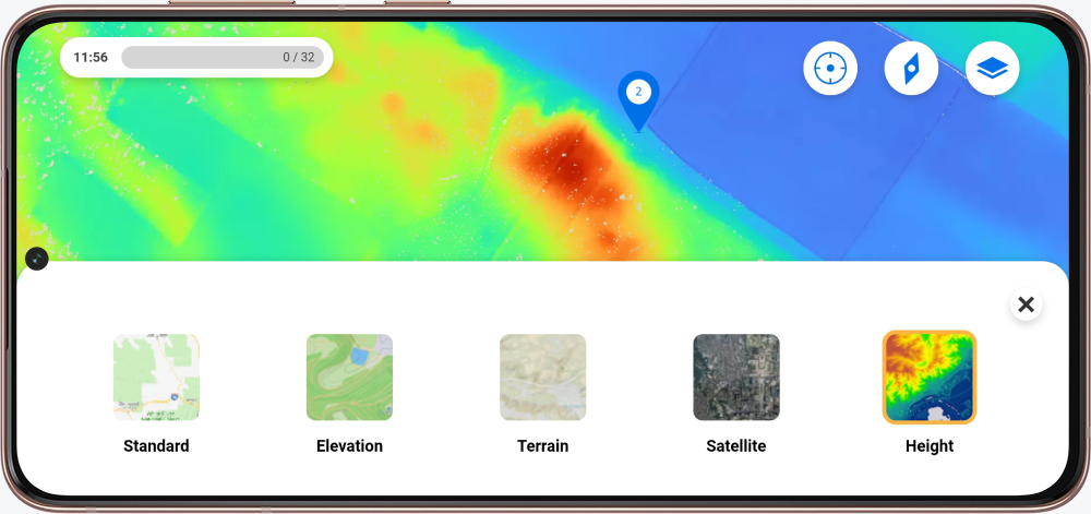
Heb je zin in de kaart voor je excursie? In de Mijn Peek omgeving kun je een kaart aanvragen door de formulieren in te vullen.
Nieuw bij Peek en nieuwsgierig naar de mogelijkheden? Neem contact met ons op!