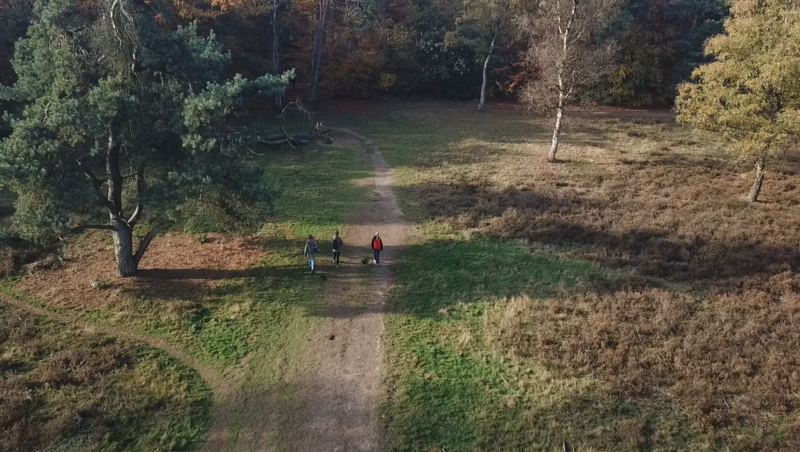



The AHN (Actueel Hoogtebestand Nederland) map shows the detailed elevation of the Dutch landscape, down to a resolution of just a few centimeters. Hills, dikes, buildings, and even small bumps are visible in stunning detail. Whether you’re standing in a polder or on a dune, this map lets you see the shape of the land as it truly is. You’ll notice subtle differences in height that are invisible to the eye but critical to understanding water flow, urban design, and natural terrain.
Waarom kiezen voor deze kaart?
Because height matters 🏔️
Maak een proefrit met me (Klikbaar) ⬆️
🔍 Zoom in to reveal the hillshade map
In a low-lying country like the Netherlands, even small elevation differences make a big impact. Use this layer to explore how water is managed, where flooding might occur, or how the landscape has been engineered over time. It’s ideal for excursions about climate adaptation, civil engineering, or physical geography.
💡 Combine it with land use or flood risk maps to explore the dynamic relationship between height and human activity!
Bron: Nationaal georegister
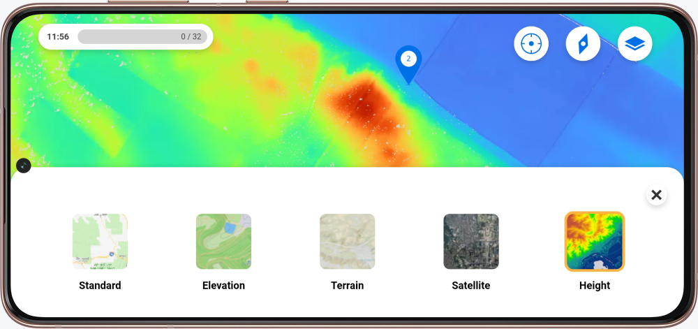
Heb je zin in de kaart voor je excursie? In de Mijn Peek omgeving kun je een kaart aanvragen door de formulieren in te vullen.
Nieuw bij Peek en nieuwsgierig naar de mogelijkheden? Neem contact met ons op!