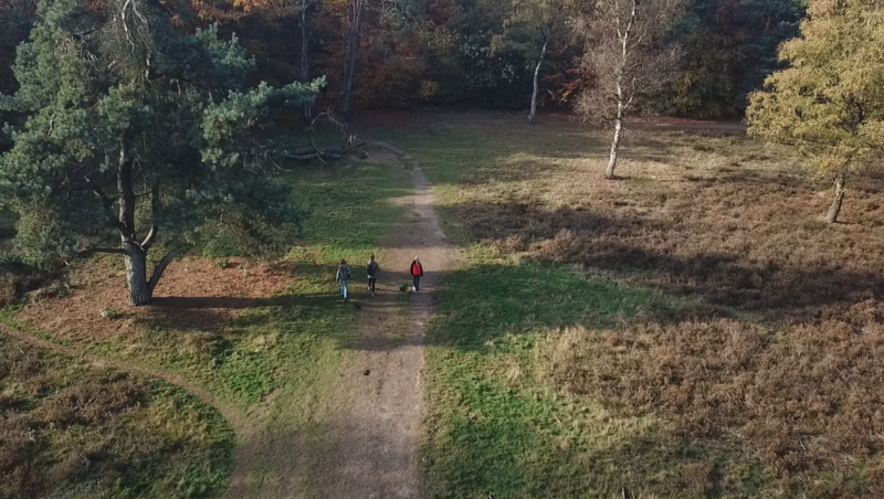



The Paleogeography map takes you on a journey through 11,000 years of Dutch landscape history. It shows how rivers, seas, peat bogs, and coastlines have shifted over time, shaping the Netherlands long before it became the country we know today. With each map layer, you step into a different era, seeing how land and water interacted in the deep past.
Why choose this map?
Because the past is still under your feet 🏞️⏳
🚙 Take me on a test-drive (Clickable) ⬆️
This map invites you to explore the ancient roots of the Dutch landscape. Use it to uncover how humans adapted to their environment, how rivers shaped early settlements, and how today’s soil and water systems are shaped by thousands of years of change.
Includes a dropdown!
The dropdown lets you explore paleogeographic reconstructions of the Netherlands from 9000 BC to the year 2000, revealing dramatic shifts in coastlines, waterways, and land use over millennia.
💡 Combine it with geomorphology layers to bring ancient landscapes to life.
📍 Source: Nationaal georegister
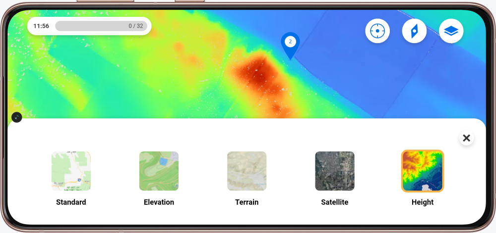
Excited for the map to be in your excursion? In the Mi Peek environment, you can request a map by filling in the forms.
New to Peek and curious about the possibilities? Contact us!