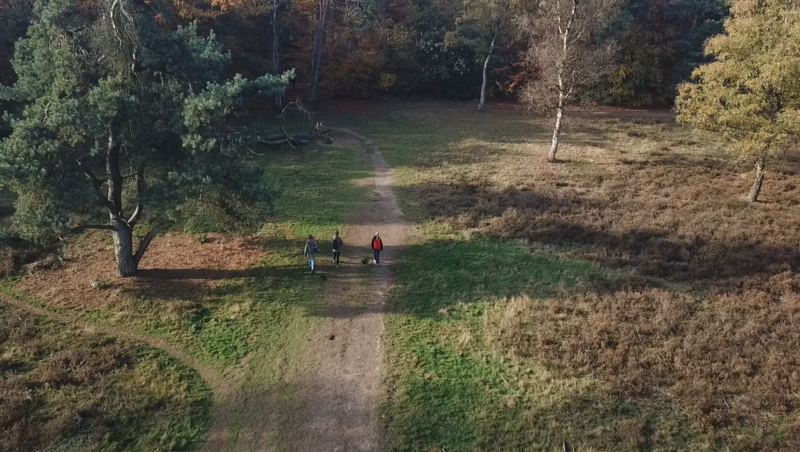



The Soil Type map shows the diverse underground makeup of the Netherlands, clay, peat, sand, and loam, each with its own characteristics and influence on water, plants, and land use. It gives a clear view of where different soil types dominate, revealing the foundation of everything that happens above ground. You’ll quickly see how soil shapes agriculture, construction, and even nature itself.
Why choose this map?
Because everything starts with the soil 🌱🧱
🚙 Take me on a test-drive (Clickable) ⬆️
This map helps you dig into the story beneath your feet. Use it to explain why crops grow differently, why buildings need special foundations, or why wetlands appear where they do. It’s perfect for excursions on agriculture, ecology, or geology.
💡 Combine it with groundwater or land use layers to explore how soil and human activity interact.
📍 Source: Nationaal georegister
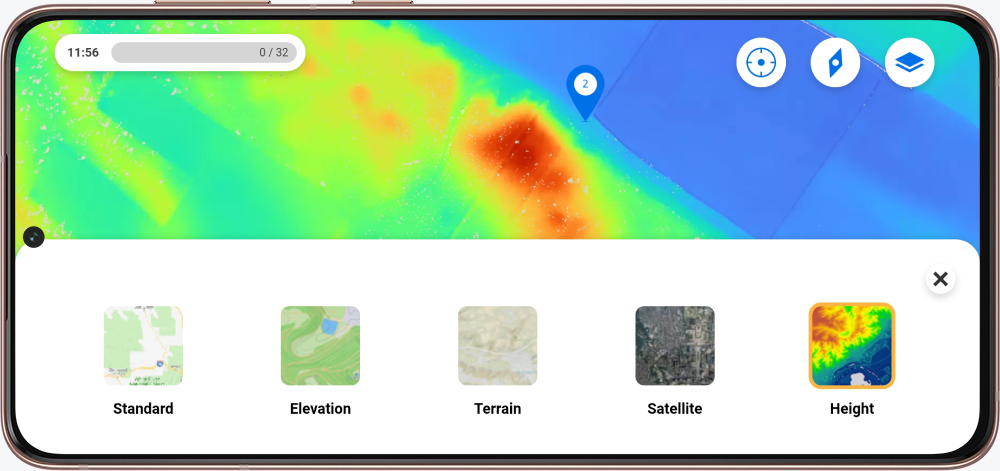
Excited for the map to be in your excursion? In the Mein Peek environment, you can request a map by filling in the forms.
New to Peek and curious about the possibilities? Contact us!