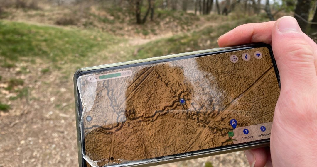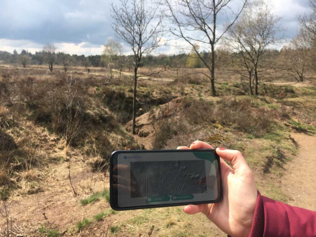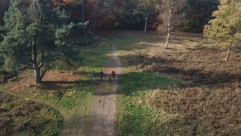



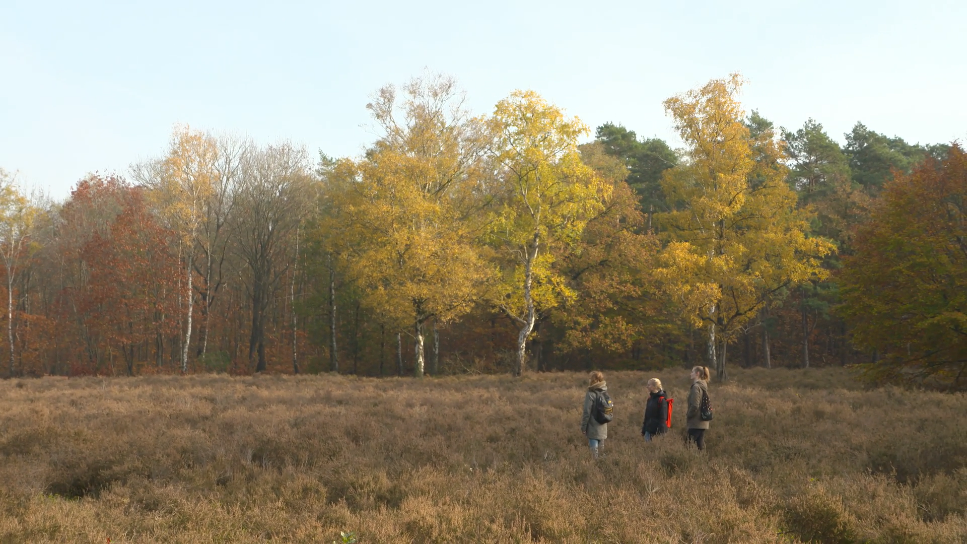
Last june, students from Wageningen University & Research tested a new app feature: a custom map for their excursion. The professor requested a map showcasing the AHN (‘Actueel Hoogtebestand Nederland’: Dutch height model). Since it has recently become possible in Peek to show customized maps per excursion, this was a perfect test case.
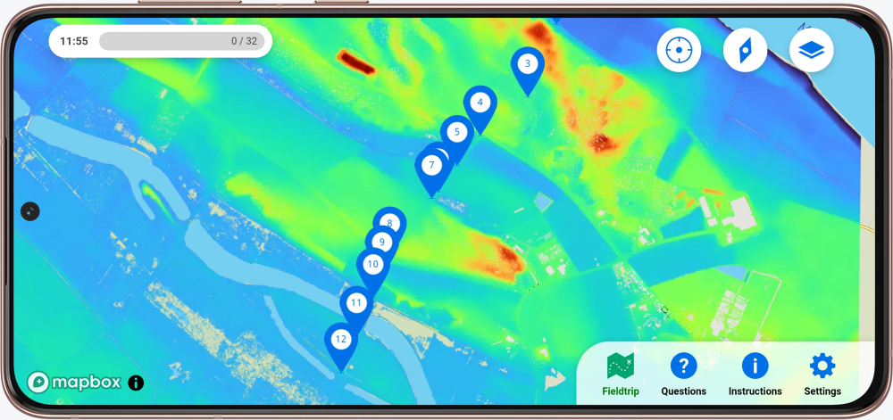
What was the excursion about? The students walked along a transect of about 2 km perpendicular to the Meuse where they made an inventory of the landforms. Per location, they annotated the height using the new map layer. After the excursion, they were able to draw a cross-section in which they could relate the different landforms to the various heights.
Your own custom maps?
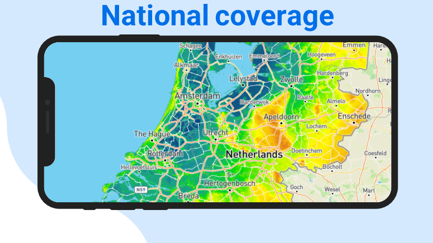
To show the special maps in the app, Peek uses WMS: Web Map Service. This ‘digital standard’ makes it possible to show very diverse maps. These can be maps that are already available, but also ‘own’ maps based on data from, for example, the university itself.
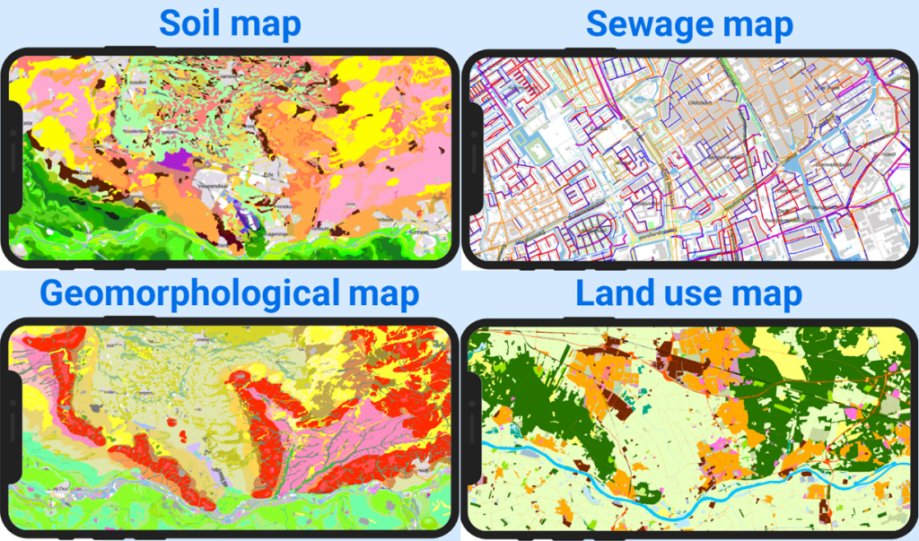
In The Netherlands, numerous national coverage WMS layers are available on the PDOK-viewer. Additionally, National-Georegister offers more WMS layers, including provincial coverage maps. Maps covering various expertise areas can be found here, ranging from soil type🌱 to sewage💩, geomorphological⛰️, and land use🏙️ maps.
Interested in adding your own map layer for your excursion? Please do not hesitate to contact us, we can then discuss the possibilities.