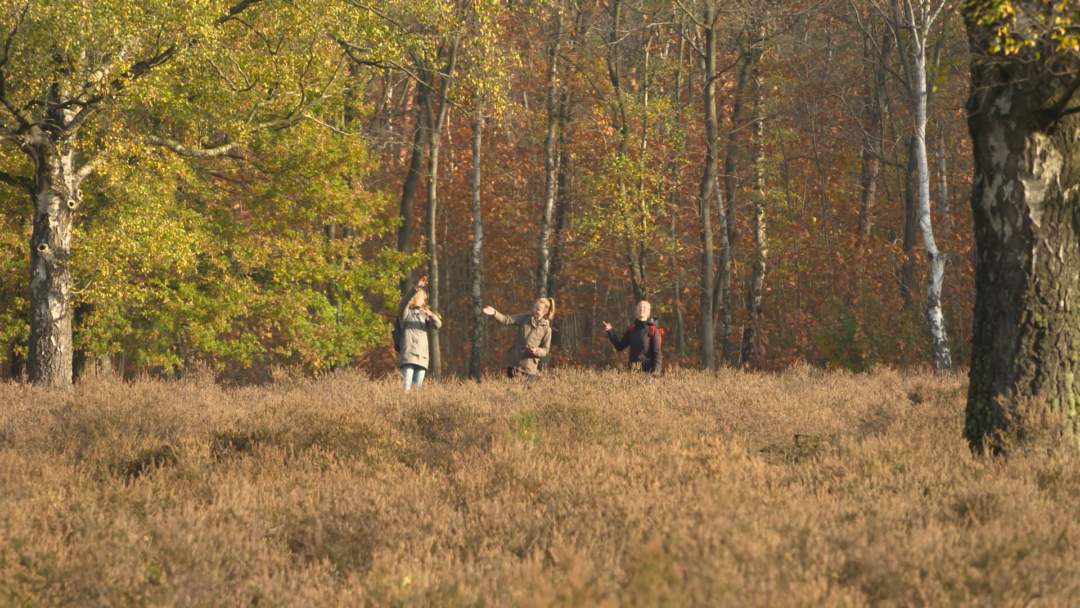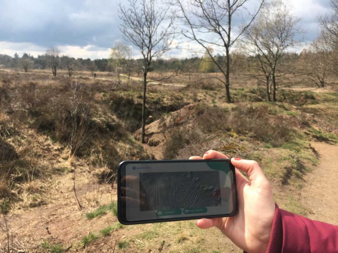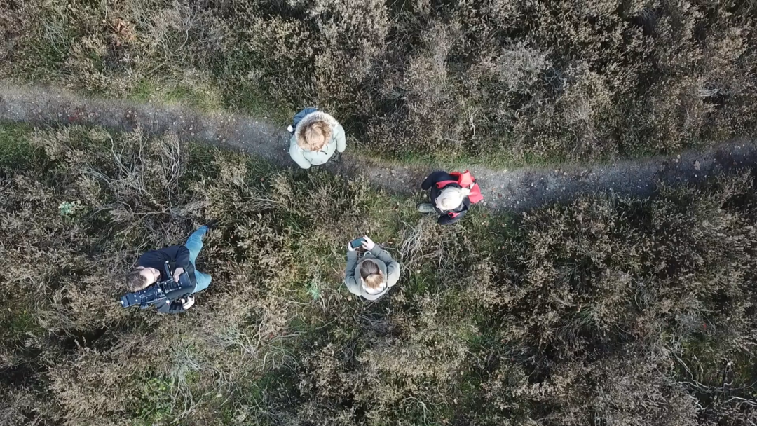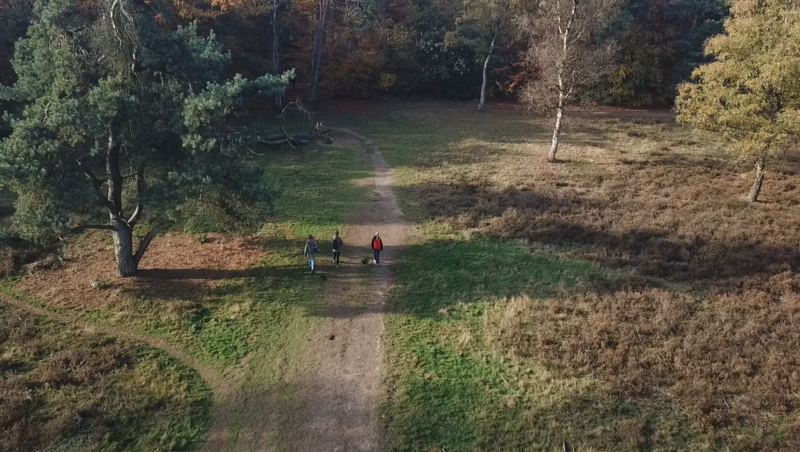



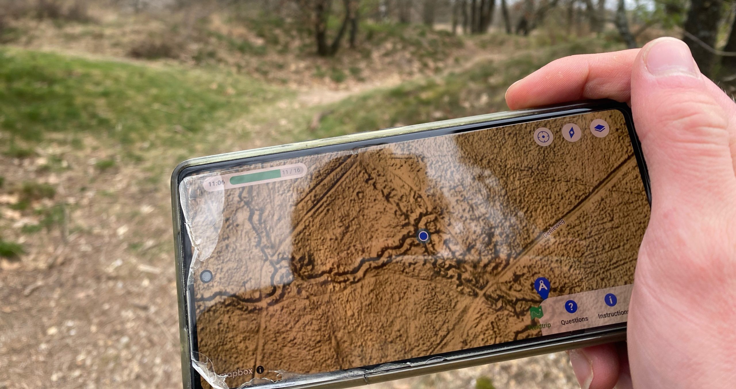
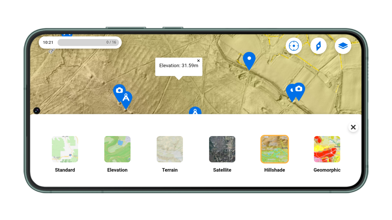
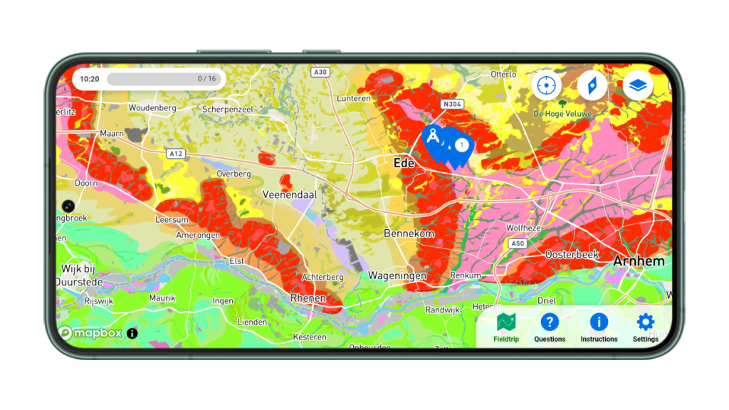
In collaboration with Wageningen University & Research (WUR), Peek recently tested a brand-new feature in the app: interactive map layers! During the Landscape Geography course, students visited the Ginkelse Heide—armed with their phones and a Peek excursion. For the first time, they explored the area using two new layers: the AHN Hillshade 🏔️ and a geomorphological map.
From screenshot to interactive experience
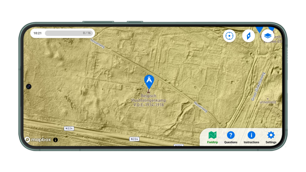
In past years, lecturer Roy used static images and a link to the AHN (‘Actueel Hoogtebestand Nederland’). This time, the new Peek feature brought the map to life 📲. With the interactive layer built right into the app, students could zoom in on subtle elevation changes or spot geomorphological patterns—all without external tools 🎯.
“Hillshade showed what you couldn’t see with your eyes, and the geomorphological map gave insight into the landscape’s formation”
“A really nice extra that helped me get deeper into the area.”
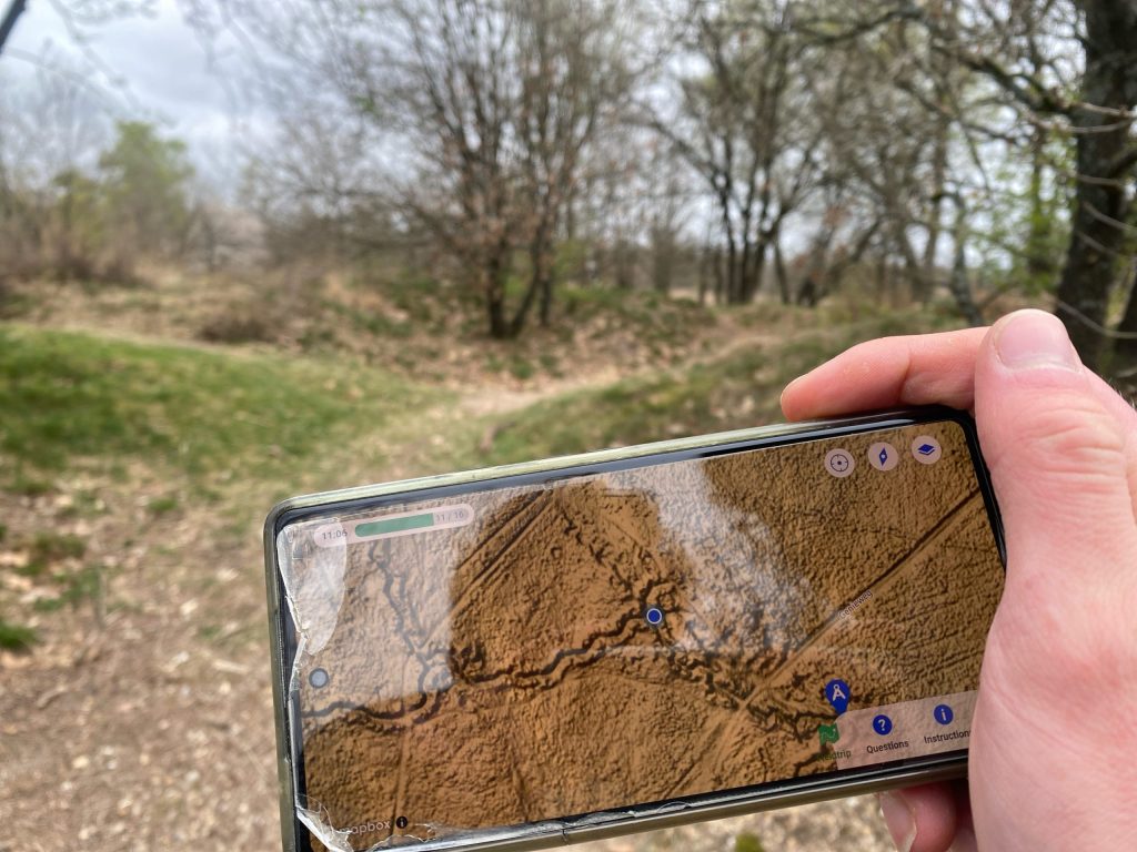
The layer enabled the students to see the outlines of an old camp that was not visible to the bare eye:
Smooth use & solid performance
A few students needed a moment to get used to switching layers 🔁, but overall, the excursion went off without a hitch. According to Roy:
“Everything works fine now! The map layers are implemented well. We’ll definitely be using this more often.”
Peek also kept performance in mind: zoom level settings were tested to reduce data usage and keep things running smoothly ⚙️📶.
More fun, more learning
To keep things lively, students could upload photos during the trip 📸 and join a mini competition for a Peek cap 🧢. The photos were creative, the enthusiasm was real, and the learning results clearly showed.
One student kept it short and bold:
“Hillshade: Mad good. Geomorphological: it’s alright.”
Gotta respect the honesty. 😄
The results ✅
- Over 60 students used the new layers in the field
- Described as “valuable” and “enriching”
- The Hillshade layer got an average 4–5 star rating ⭐⭐⭐⭐⭐
This case shows how digital map layers in Peek bring learning outdoors to the next level 🚀. What used to be a static screenshot is now an interactive tool in a dynamic, hands-on experience.
👉 Want to use your own interactive map layers for an excursion? Let us know! We’d love to help you set it up—just reach out, and we’ll explore the possibilities together. 💬📧