


The Land Use map shows how every part of the Netherlands is used, fields, forests, cities, nature reserves, industrial zones, and more. It gives a complete picture of human activity across the landscape. You can spot patterns like urban sprawl, agricultural dominance, or green corridors running through built-up areas. It’s a great way to understand the balance (or tension!) between people and nature, space and function.
Why choose this map?
Because it shows what we do with the land 🏙️🌾
🚙 Take me on a test-drive (Clickable) ⬆️
This map doesn’t just show where things are, it shows what they’re for. Want to talk about urban planning, agriculture, or biodiversity in your excursion? This layer makes it visual and tangible. It helps you connect everyday sights to the bigger picture of how we design, manage, and live on our land
💡 Combine it with elevation or soil maps to understand why land is used the way it is.
📍 Source: Nationaal georegister
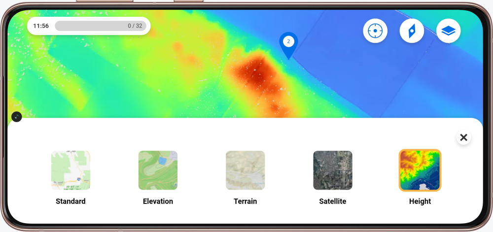
Excited for the map to be in your excursion? In the My Peek environment, you can request a map by filling in the forms.
New to Peek and curious about the possibilities? Contact us!