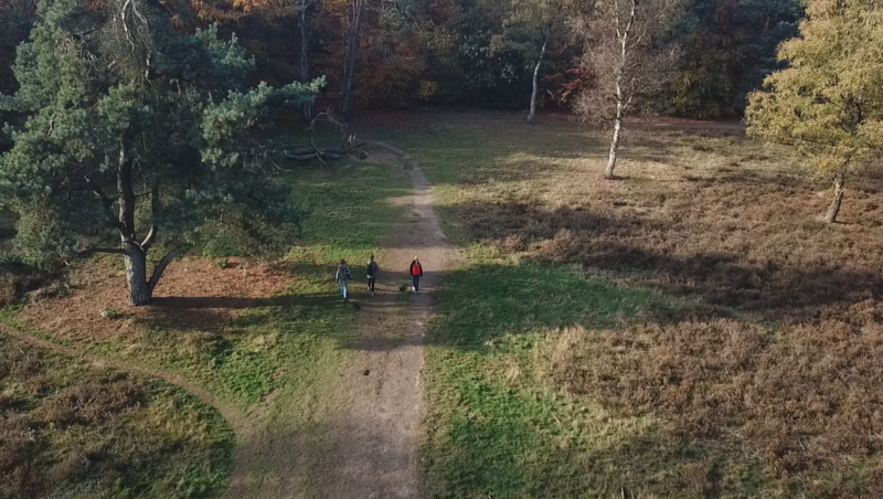



The Geomorphology map reveals the natural shapes and structures of the Dutch landscape, such as riverbanks, dunes, old stream channels, and glacial formations. It’s like a fingerprint of the land, showing how earth, water, ice, and wind have sculpted the terrain over thousands of years. You will see detailed landforms such as levees, floodplains, valley fills, and more, mapped out across the country.
Why choose this map?
Because it takes you beneath the surface 🌍
🚙 Take me on a test-drive (Clickable) ⬆️
This map doesn’t just show where you are, it shows how that place came to be. Want to take your excursion into deep time? Use this layer to uncover ancient riverbeds or glacial traces right beneath your feet. It’s perfect for excursions about geology, soil science, water management, or just sparking a sense of wonder in the natural landscape.
💡 Combine it with water or soil layers for a truly immersive outdoor lesson!
📍 Source: Nationaal georegister
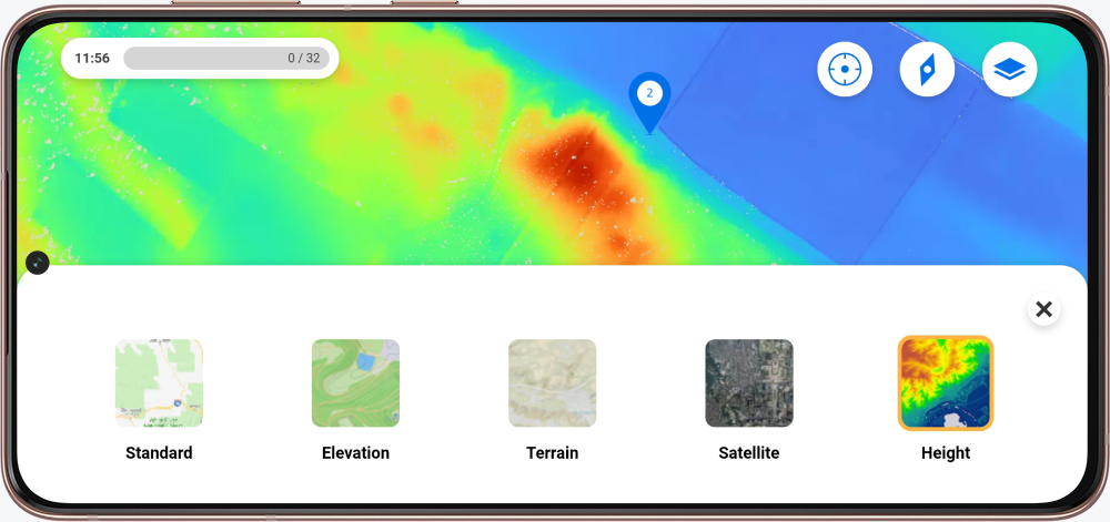
Excited for the map to be in your excursion? In the My Peek environment, you can request a map by filling in the forms.
New to Peek and curious about the possibilities? Contact us!