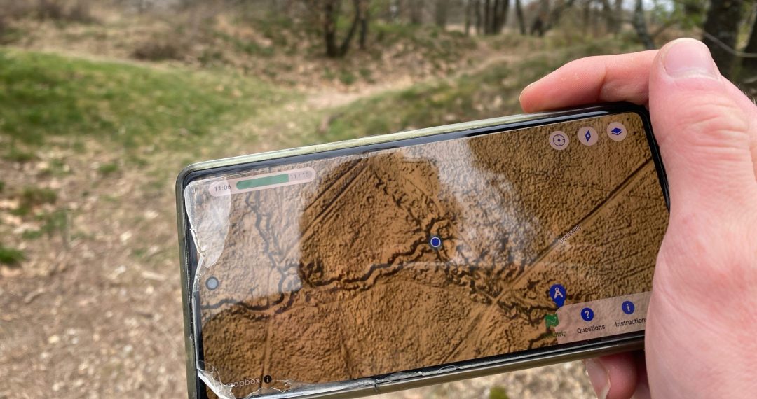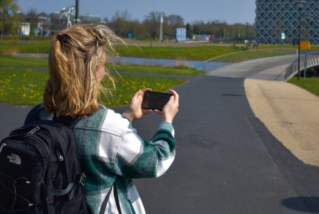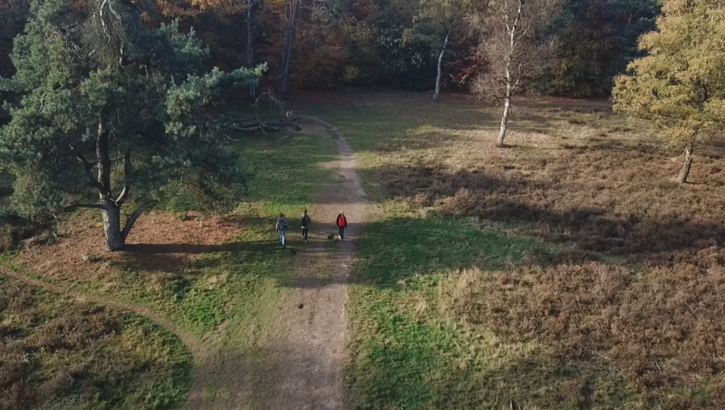



In the far North of the Netherlands, a team of inventive Landscape Architecture lecturers created an intriguing AR (augmented reality) centered fieldtrip in Peek. Their innovative concept even led them to be nomimated for the Peek Excursion of the Year 2024 🏆!
The idea was born in the creative brains at the Faculty of Spatial Sciences of the University of Groningen (RUG). What lessons can we draw about designing an engaging excursion?
RUG excursion: ‘Power of Design‘
As to-become-landscape architects and spatial planners, the excursions challenged them to critically examine their surroundings in the city of Groningen. In this appropriately named course ‘Power of Design’, multiple Peek excursions were deployed in the city. In one of them studies the spatial layout from multiple perspectives by stepping in the shoes of a certain profile (kids, men, women, elderly) while describing and visualising the built environment.
“The students can visualise their analysis and upload this directly in the Peek app” – Özlemnur Ataol (RUG)
Empowering observation skills through Augmented Reality (AR)
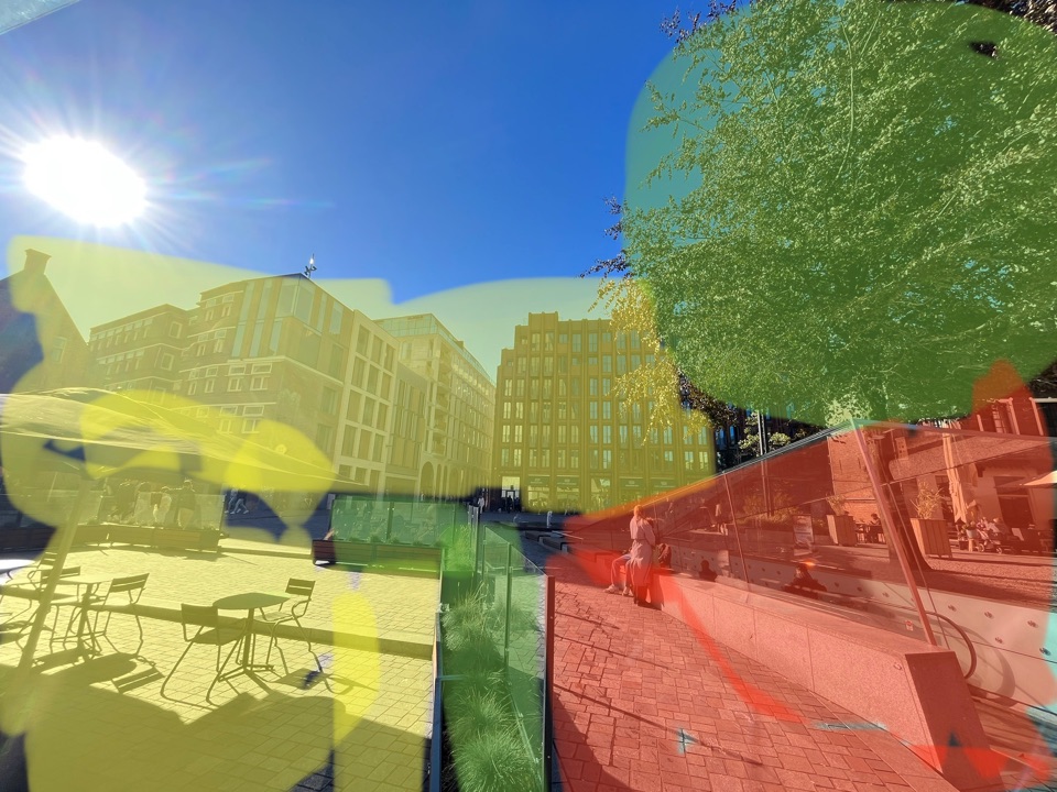
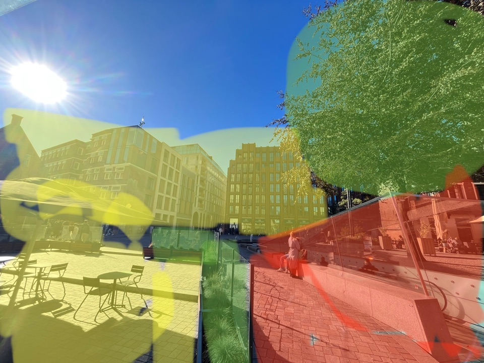
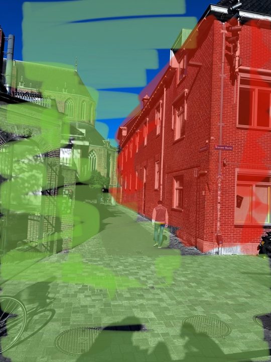
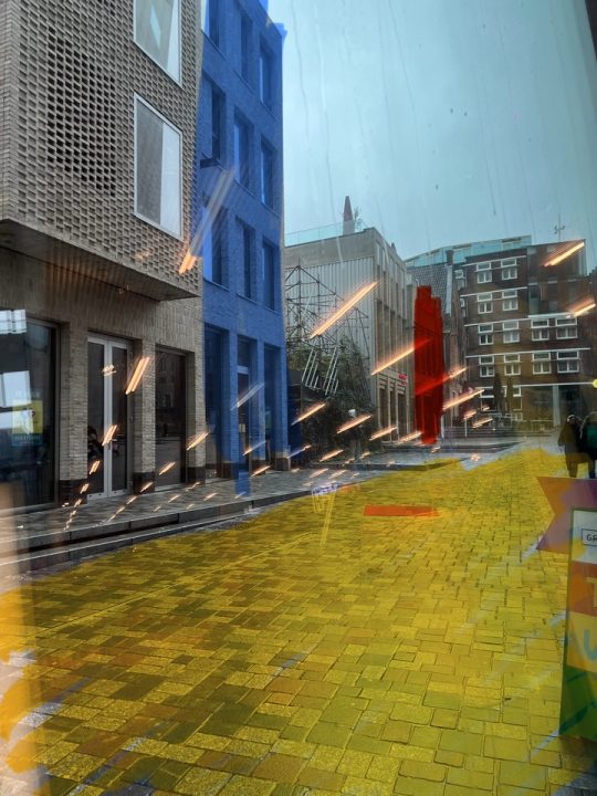
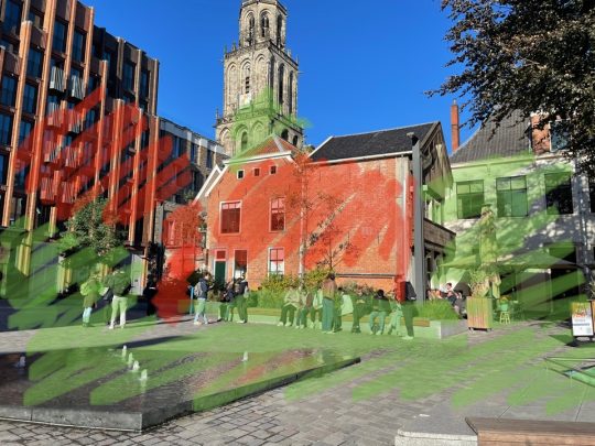
In another Groningen city trip, the Peek app challenged the students to take their artistic skills to the next level. Following a low-key AR approach, they edited pictures of the city to convey their observations, with questions like:
” Take a photo and identify spaces that are fully in the public domain, and those that are used by private enterprise. Use the photo editing and drawing features on your phone to distinguish the different usages and functions
Or:
” Take a picture here and highlight the different morphological elements in the space.
The results did not disappoint! 🎨👩🎨
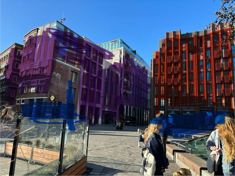
In another assignment, the students used the photo editor tool to highlight and describe historical, social, or climatic elements they found in the city:
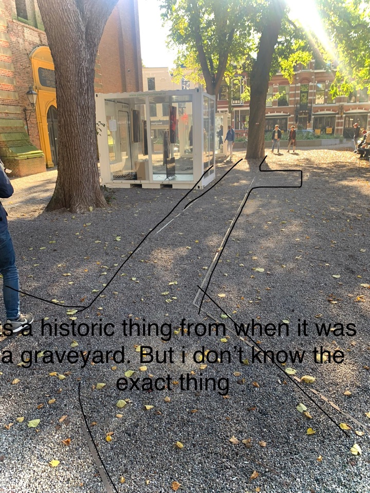
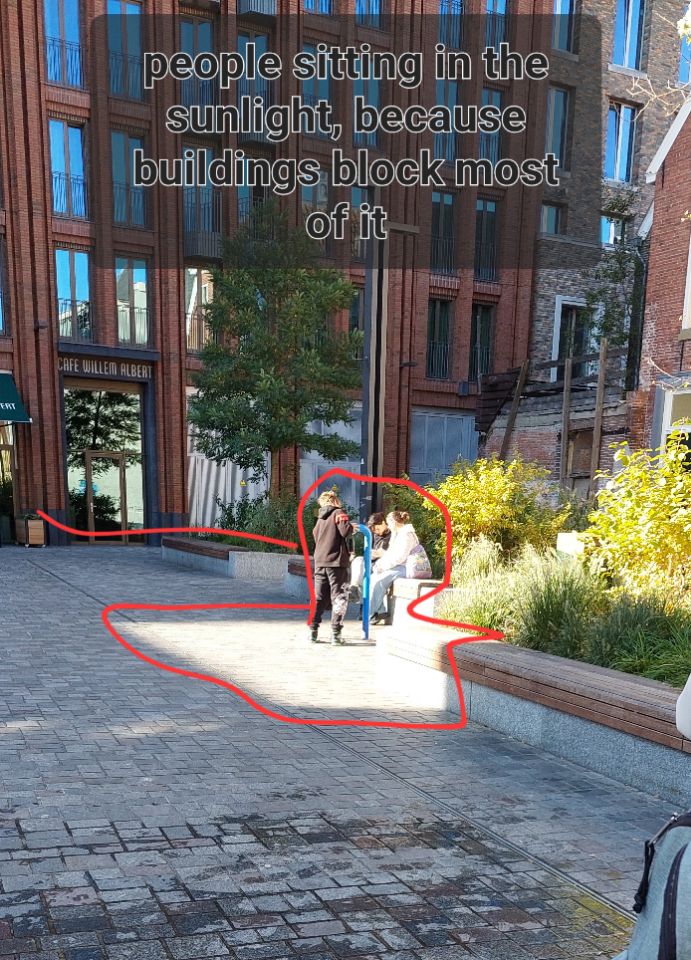
We’re happy to see that the course staff did not neglect the focus of hand-drawing, which is a timeless skill for these future landscape architects:
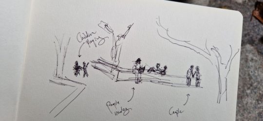
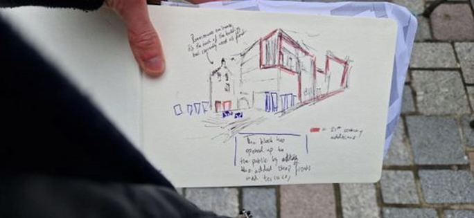
AR in education: only for urban planners?
Definitely not! Although the first example came from this creative Spatial Sciences dpt., it really inspires a broad range of other applications. To name a few ideas:
- Forestry and Nature Conservation students designing ecological corridors in the landscape
- Water Resources Management students drawing rainwater harvesting structures on a hillside
- Sustainable Agriculture or Land Management students redesigning land use plans based on the underlying soil maps*
The integration of AR in Peek as illustrated here can really augment the creative level of your excursions!
* did you know the revamped Peek app now supports new (custom) map layers, like Soil types?